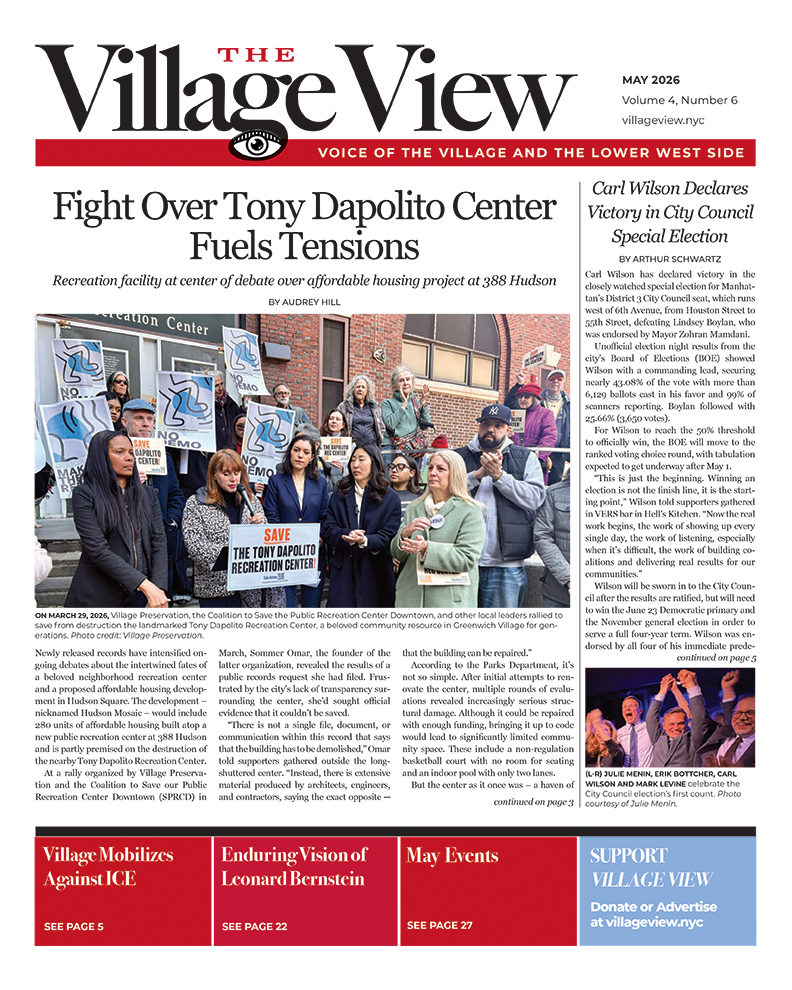
HISTORY NOW!
We live with history in our built environment; history enriches our lives and gives us a sense of place. These are stories about historic places.
Changing Streets and Names: Waverly Place
BY BRIAN J PAPE, AIA, LEED-AP

D. H. Burr published his 1834 map with a “Waverley Place” shown running along the north side of a fully formed Washington Square, from Broadway to Christopher Street. (Factory Street is separated from Waverley Place by a full block.) Credit: NYPL.
To understand where Waverly Place came from is to explore historic maps and records. Many other streets have a little more of a basis to begin with. However, when we look at the 1803 Mangin-Goerck Plan map and the 1807 Bridges survey, there is still no Waverly Place.
Christopher Street, one of our oldest streets, has had the same name almost since Greenwich Village was formed. To the north is a Mary Street, immediately west of Greenwich Lane, created sometime in the late 1700s. Mary was renamed Catharine Street according to the 1811 grid maps and in 1813 it was changed to Factory Street. (Histories don’t give a hint to who named these streets or why they changed.)
Mary/Catharine/Factory Street ran all the way from Jane Street, nearly merging with Greenwich Lane, down to and ending at Christopher Street. According to the historian Mr. Post, a former portion of Christopher Street between Greenwich Avenue and the future Waverly Place was also called Mary Street. I haven’t found it on maps, so perhaps that name was dropped early on to avoid confusion.
This part of Manhattan was once divided by a narrow marshy valley through which ran the Minetta Creek (or Brook). In the early 17th century, a Native American village known as Sapohanikan or “Tobacco Field” was nearby. It remained farmland until 1797 when the Common Council of New York purchased the fields to the east of the Minetta (not yet within city limits) for a new potter’s field or public burial ground. In 1826, the city bought the land west of Minetta Creek with a resolution to re-appropriate the potter’s field into a military parade ground. The area surrounding the square became one of the city’s most desirable residential areas in the 1830s. In 1849 and 1852, the parade ground was reworked into a proper park with trees, gas lighting and a fountain. NYC Parks Department history says “the site became a public park in 1827.”
By the time D. H. Burr published his 1834 map, a “Waverley Place” is shown running along the north side of a fully formed Washington Square, from Broadway to Christopher Street. Factory Street is separated from Waverley Place by a full block. (A slightly earlier map by Bridges in 1829 shows the name 6th Street on the north side of Washington Square, with Wooster Street on the east side.) Waverley Place was named in 1833 by the city council to honor Sir Walter Scott’s 1814 novel Waverley. Prior to 1833 it had been Greenwich Lane or Art Street. It was part of the “baseline” for the 1811 grid, before Art Street was demapped. “Place” was often used instead of “Street” when a street fronted a special place in the neighborhood. Only a few “Places” survive today.
The Herring Family Farm, south of Christopher Street and before Washington Square had been formed, was surveyed in 1784. It was included in David Haring’s 1869 plan of streets laid out for development, including “Waverly Place,” perhaps for the first use of that spelling. Different spellings seem to be quite common in those days. Nevertheless, the name “Washington Square North” seems to occur after 1869. The Fire Maps of 1859 do not have Park N, S, E or W on any park borders.

Fire Map 59 showing the completed Waverley Place intersection at Christopher Street. Credit: NYPL.
The 1859 Fire Maps do show the intersection of Waverley Place at Broadway, Map 53, the intersection at Christopher Street going north, Map 59, and the termination at Jane Street, Map 68, as a fait accompli. As conjecture, the city planners’ scheming ways to connect streets may have recognized the inefficiencies of too many tiny blocks in the neighborhood. So, when they connected 12th Street (Troy Street on Map 68) west across Greenwich Avenue, they terminated Waverley at Bank Street instead of Jane Street, allowing larger blocks to be formed between Greenwich Avenue and West 4th Street.

Fire Map 68 showing the final Waverley Place termination at Bank Street, instead of Jane. Credit: NYPL.
So many changes in so few years for this set of streets that today constitute Waverly Place. It helps us appreciate the special place it has in our neighborhood.
_________
New York Public Library (NYPL) archives, NYC Parks Department, Gilbert Tauber’s Oldstreets.com, city records and Wikipedia provided historic notes. Of special note is the NYPL website with Interactive 1811 Plan maps that show old and new streets in adjustable overlays.